Centrepointe
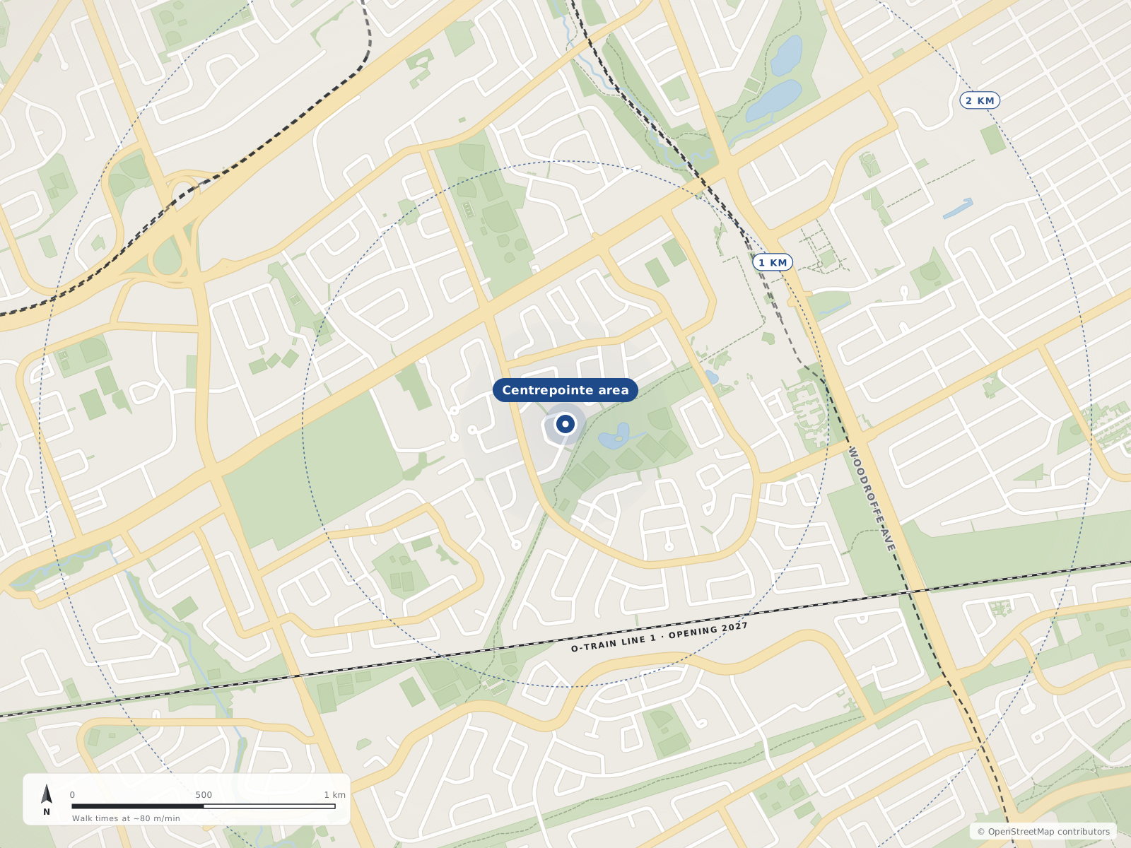
Centrepointe is a residential subdivision in the west and central part of Ottawa, developed from 1984 onward. Wikipedia describes it as bounded informally by Baseline Road, Woodroffe Avenue, the CN railway and the Briargreen subdivision. The land was farmland that the Canada Mortgage and Housing Corporation bought and later sold, mostly to the Minto Group. The housing includes about 1,000 detached homes, with most of the rest townhomes (row houses) and terrace homes. The ONS 2021 figures on this site cover its Centrepointe area.
The Centrepointe area has 1 neighbourhoods: and Centrepointe.
Updated · Facts on this page link to their sources
Neighbourhood centres
- 1Centrepointe0 m
- 01
Centrepointe
A planned residential community in Ottawa's west end, built from 1984 around Ben Franklin Place.
Wikipedia describes Centrepointe as informally bounded by Baseline Road to the north, Woodroffe Avenue to the east, the CN railway to the south, and the Briargreen subdivision and Forest Ridge Apartments to the west. The ONS draws its own Centrepointe boundary, so figures on this page may cover a slightly different area.
Quick answers
Short answers first; each links to the full answer and its sources.
What are homes like in Centrepointe?
In the 2021 census, 41.9% of Centrepointe's dwellings were single-detached houses and 37.7% were row houses. Another 22.3% of dwellings were condominiums, and 4.3% were semi-detached.
As of 2021 · ons-sqo.ca ons-sqo.ca
Where is Centrepointe, and what are its boundaries?
Centrepointe is in Ottawa's urban west end, in College Ward, and was formerly part of the city of Nepean. Wikipedia describes it as informally bounded by Baseline Road to the north, Woodroffe Avenue to the east, the CN railroad to the south, and the Briargreen subdivision and Forest Ridge Apartments to the west.
As of 2026-10 · en.wikipedia.org ons-sqo.ca
How many people live in Centrepointe?
The 2021 census counted 9,260 people in Centrepointe, in about 3,700 private dwellings. Average household size was 2.5 and the median age was 43.2.
As of 2021 · ons-sqo.ca ons-sqo.ca
What is Ben Franklin Place in Centrepointe?
Ben Franklin Place, at 101 Centrepointe Drive, is named for a former mayor of Nepean. Wikipedia lists it as Centrepointe's major attraction, housing the Centrepointe branch of the Ottawa Public Library, the Centrepointe Theatre and the former Nepean City Hall.
As of 2026-10 · en.wikipedia.org openstreetmap.org
Do most people rent or own in Centrepointe?
In the 2021 census, 70.2% of Centrepointe households owned their home and 29.9% rented.
As of 2021 · ons-sqo.ca ons-sqo.ca
Is new housing being built in Centrepointe?
Wikipedia reports that as of 2024 two major apartment projects were well underway in northern Centrepointe. One was a two-tower Richcraft condominium complex (22 and 24 storeys) at 19 Centrepointe Drive, and the other a 15-storey rental building near Constellation Drive (2140 Baseline Road).
As of 2026-10 · en.wikipedia.org